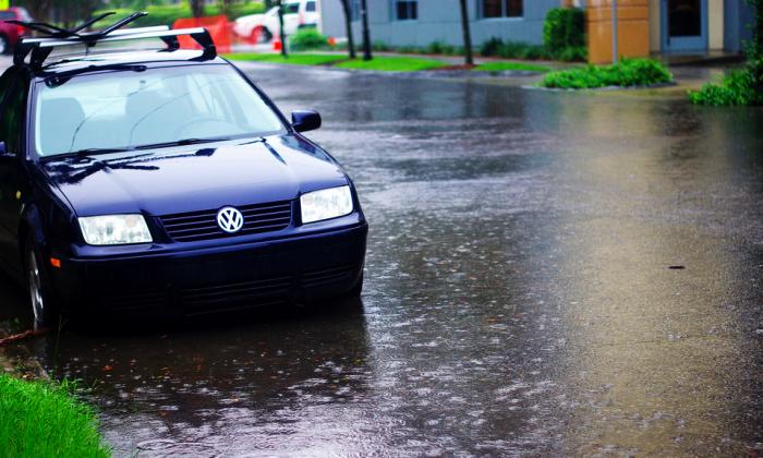
Flickr User: Chandoo
Today, Wednesday, June 20, 2012, is the first day of summer, which is known as the summer solstice and, right on schedule, someone decided to turn up the heat.
WMBF News is reporting, "90° across the inland areas for Wednesday with mid to upper 80s at the beach" and will continue all weekend. WPDE News Channel 15 reported this morning that there could be some rain on the way for us as well, which would bring even more humidity. So basically, it's going to be really fun doing yard work this weekend.
The Sun News has a little write-up about the summer solstice filled with fun-facts about the Dog Days of Summer here in MYR one of the funnest of facts is, "Although the Grand Strand sees 215 sunny days on average each year, summer months July and August are typically the wettest for the Myrtle Beach area."
Enjoy the first day of summer, and if it's too hot out there for you there's always a bar (indoors or out) near by that is sure to have some great Happy Hour specials.
Below is the 7-Day forecast provided by the National Weather Service:
Today: Sunny, with a high near 82. Calm wind becoming southeast between 8 and 11 mph.
Tonight: Mostly clear, with a low around 71. South wind between 3 and 9 mph.
Thursday: Patchy fog before 7am. Otherwise, sunny, with a high near 84. Calm wind becoming south between 6 and 9 mph.
Thursday Night: Mostly clear, with a low around 72. South wind between 6 and 10 mph.
Friday: Sunny, with a high near 86. South wind between 5 and 11 mph.
Friday Night: Partly cloudy, with a low around 75.
Saturday: Mostly sunny, with a high near 85.
Saturday Night: Mostly cloudy, with a low around 75.
Sunday: Partly sunny, with a high near 85.
Sunday Night: Partly cloudy, with a low around 75.
Monday: Mostly sunny, with a high near 87.
Monday Night: Partly cloudy, with a low around 75.
Tuesday: Mostly sunny, with a high near 86.
Did You Know?
Question: Why isn’t the summer solstice, the longest day of the year, also the hottest day of the year?
Answer: Earth’s atmosphere, land, and oceans absorb part of the incoming energy from the Sun and store it, releasing it back as heat at various rates. Water is slower to heat (or cool) than air or land. At the summer solstice, the Northern Hemisphere receives the most energy (highest intensity) from the Sun due to the angle of sunlight and day length. However, the land and oceans are still relatively cool, due to spring’s temperatures, so the maximum heating effect on air temperature is not felt just yet. Eventually, the land and, especially, oceans will release stored heat from the summer solstice back into the atmosphere. This usually results in the year’s hottest temperatures appearing in late July, August, or later, depending on latitude and other factors. This effect is called seasonal temperature lag.
read more over at Almanac.com


i also suggest your for best Dehumidifier Reviews.its useful for winter.dehumidifier reduce humidity from air