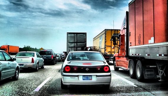
Image by Flickr user K2D2vaca
Update July 29: S.C. DOT is distributing a brochure about the I-526 plan, most interestingly it contains a narrated map of the features at various points on the $489 million project.
What struck me at first glance were the plans for:
- A multi-use path along the parkway's entire length for use by pedestrians and bikers.
- Two, 65 foot bridges.
- A two-stories tall elevated crossing over Maybank Higway on Johns Island.
- A minimum of a eight-lane intersection with Folly Road.
Check out the full document here (6MB PDF.)
Also, The Post and Courier has filed an expanded story; read that here.
Update July 28: The Post and Courier has a bit of information on the proposed "parkway" with top speeds in the 35 to 45 mph range; read their report here.
The proposed plan is "Alternative G" which you can read more about on the S.C. DOT's website and see in this map.
Public meetings on the plan will be held August 31 and September 2 at Burke High School.
Update July 27: The Charleston City Paper has done a brief report on the forthcoming meeting, and most interestingly chats about alternative proposal of adding light rail instead interstate roads to the area; read it here.
First reporting: The Draft Environmental Impact Statement for I-526 will be released Wednesday, July 28th at 10 a.m. This statement has been years in the works and will show the alignment and the impacts that I-526 will likely take across Johns and James Island and West Ashley.
The Department of Transportation has lead this study, narrowing down the possible alignments from 38, to six and now just one.
Charleston County plans to spend more than $420 million to extend I-526 through Johns Island to James Island. The extension of I-526 has been shown by regional studies not to solve many of our worst traffic problems, such as congestion on Savannah Highway and Folly Road. At the same time, it will increase sprawl, destroy wetlands, lower water quality, and potentially impact James Island County Park.
The Coastal Conservation League submitted an alternative known as the "New Way to Work." The League believes these network improvements in this alternative will help distribute local trips and daily traffic better than a major highway, which will instead funnel cars onto Calhoun Street, Folly Road, Maybank Highway, and Highway 17.
This highway expansion project is a 1970’s interstate design that does not fit with the current needs of our city and would direct sprawling development to Johns Island, James Island and West Ashley.
The presentation of the preferred alternative will be at Lonnie Hamilton Public Services Building, 4045 Bridge View Drive in North Charleston at 10am on Wednesday, July 28th 2010.
Please attend to learn more about this project.


